After getting covid last year, I kinda lost my drive to go on hikes/big walks. The thought of them alone exhausted me. No, seriously. I was a changed man. I was also a man putting on weight. After realising I was an entire stone heavier than summer last year (Thanks, Covid. Thanks, Christmas. Thanks… David – this is mostly your fault), I knew it was time to kick my arse back into gear and get out on those Peaks again.
Fortunately, I have a few friends who are always down to don hiking boots…
“Ethel Bagging“
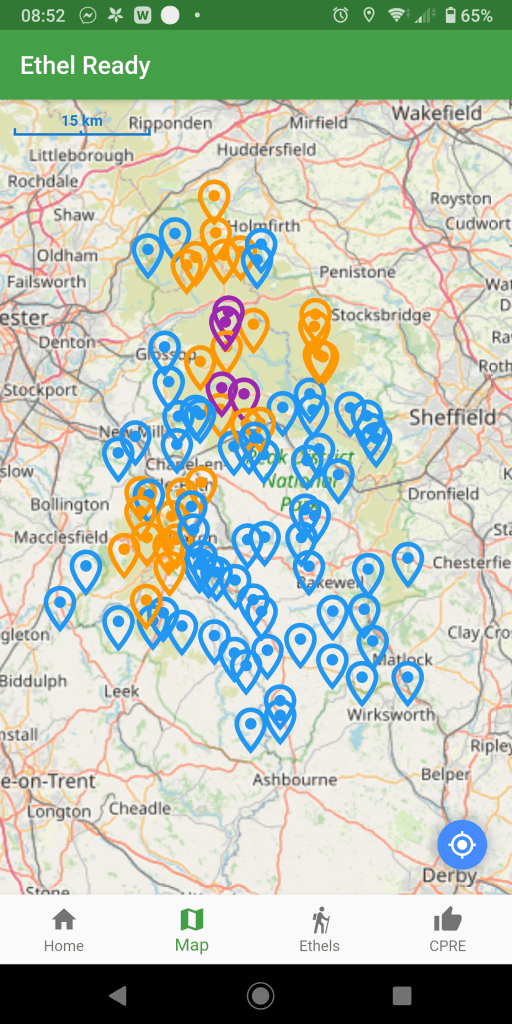
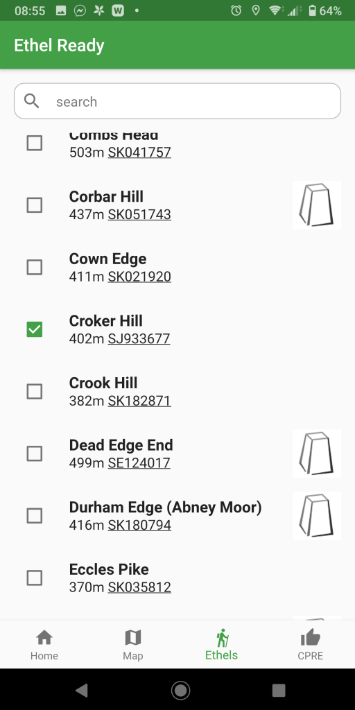
Since last June, Brendan has been undertaking a hill climbing challenge called Ethel Bagging. The Ethels are 95 prominent hills in the Peak District, mostly over 400m above sea level, and the challenge – created last year by CPRE, The Countryside Charity – is to top them all. They’ve released an app called ‘Ethel Ready’ which maps out all Ethel locations and allow you tick them off.
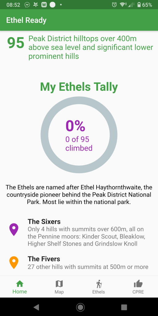
Now some of you who know me may know I have an unhealthy love of list making and maps. I’m tempted… But 95 climbs?? Brendan had already reached FIFTY – I had a lot of catching up to do…
So, maybe I’ll join in on the “fun”. I’ve already unwittingly bagged some Ethels and wrote about them on my blog – The Cloud – Mam Tor – White Path Moss on Stanage Edge – Shutlingsloe, so I shall include those ones on my ticked off list so I don’t have to blog about them again!
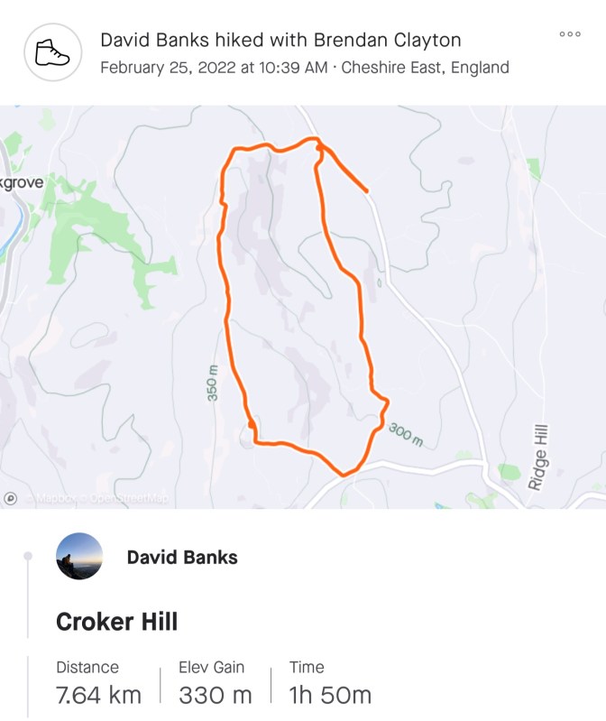
Croker Hill – Height: 402m
If you live on the Cheshire side of the Pennines, it’s likely you’ve occasionally noticed on drives into the Peak District a hill with a big radio mast on it.
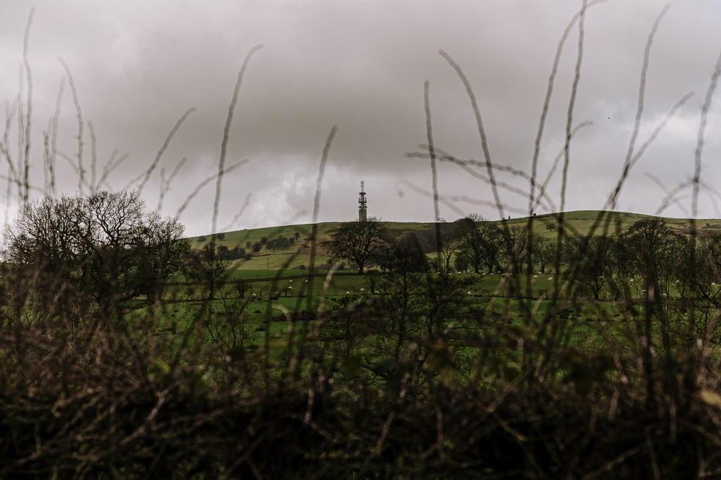
This is the Sutton Common BT Tower on Croker Hill, as I saw it from Shutlingsloe last summer. Fast forward to the 25th February 2022, and this would be the day’s first destination.
Brendan, Joel and I met at The Ryles Arms pub car park.

There were no signs specifying the car park was for pub patrons only, but I still felt a little sly, so we agreed to go for pie and a pint after the walk.
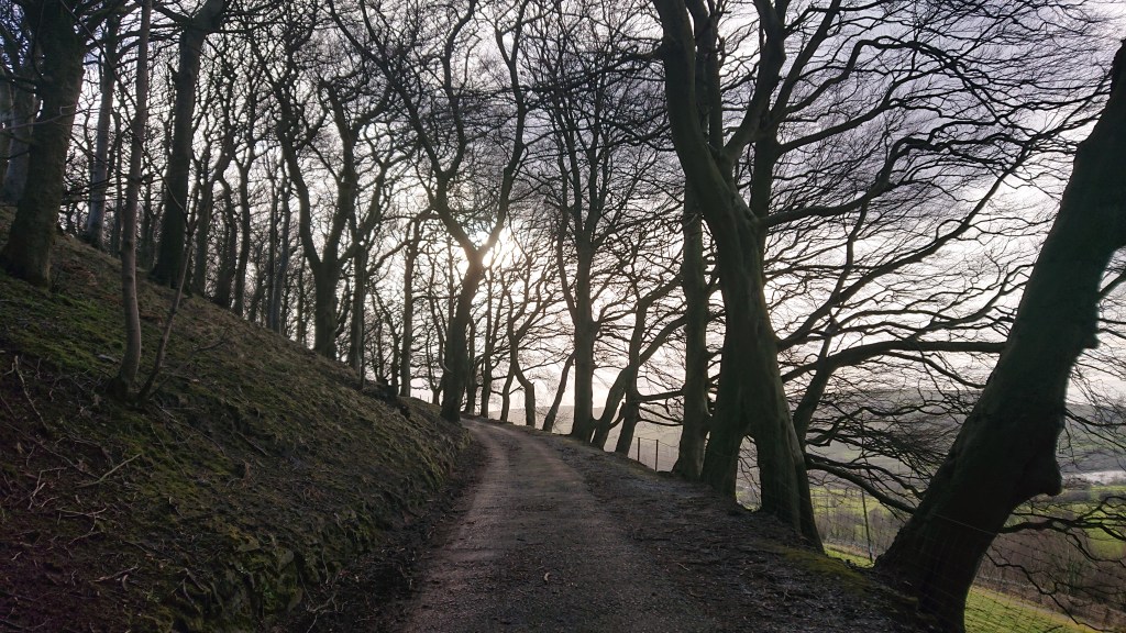
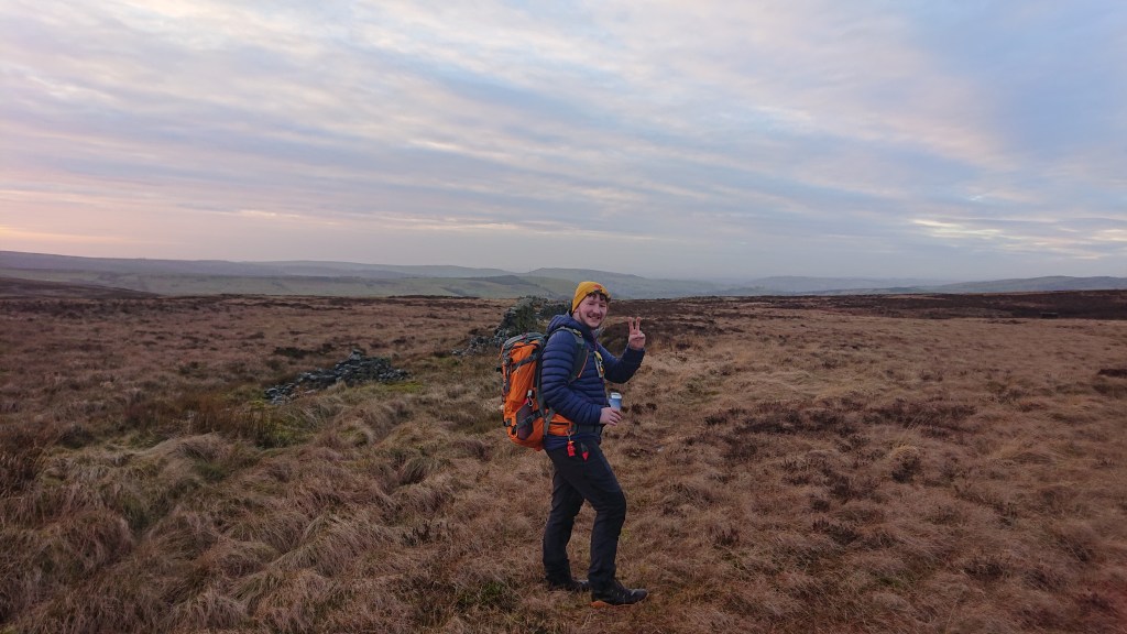
Joel and I followed tour guide Brendan down the country lane and through a gate onto a trail.
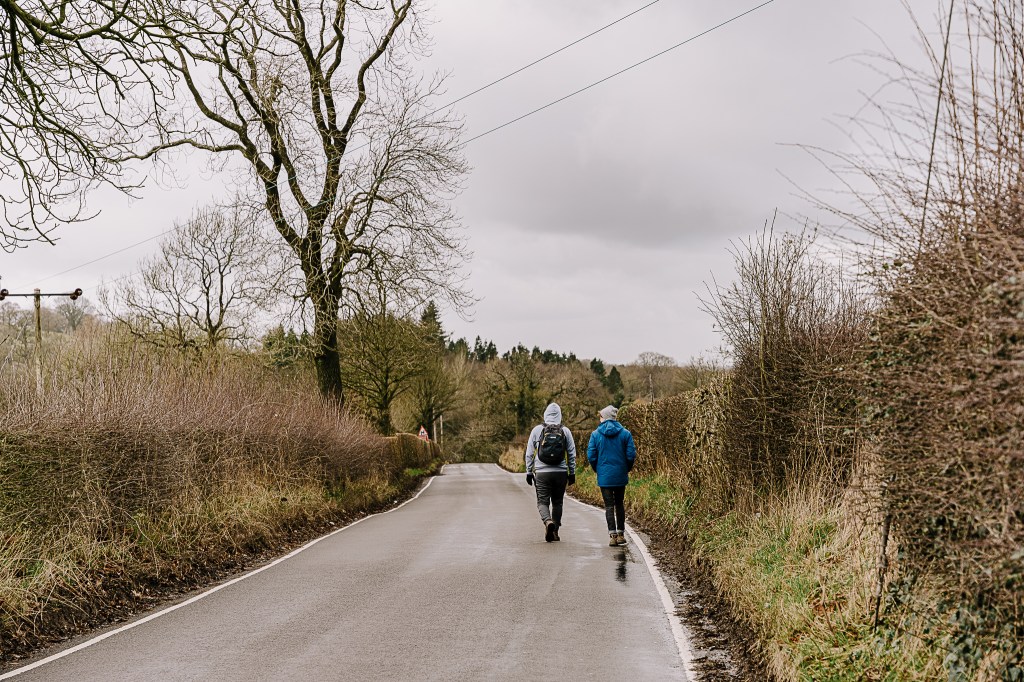
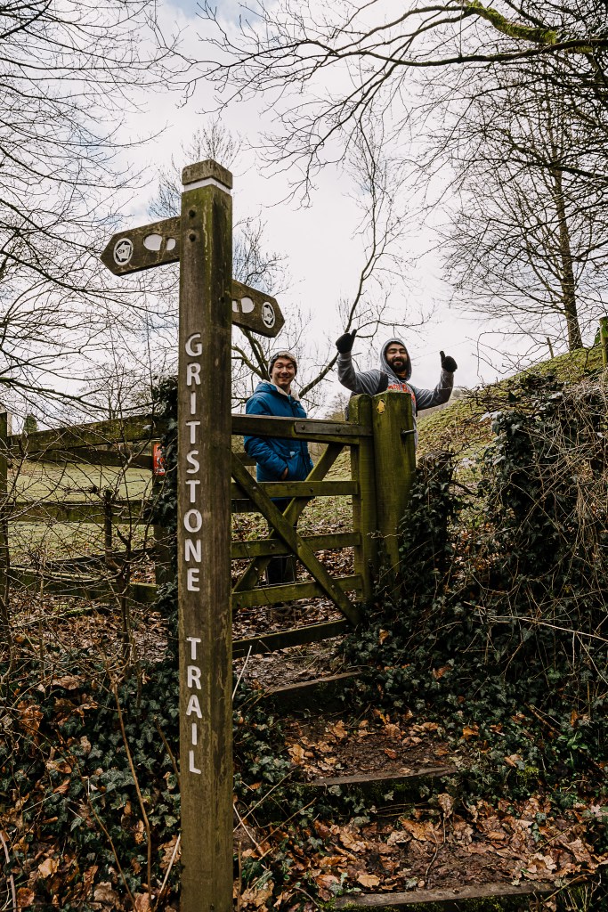
This is a section of the Cheshire Gritstone Trail, a 35-mile long path draped over the westerly hills of the Peak District. Today we would be walking a tiny percentage of it.
After weeks of stormy weather, today’s conditions were almost tropical.
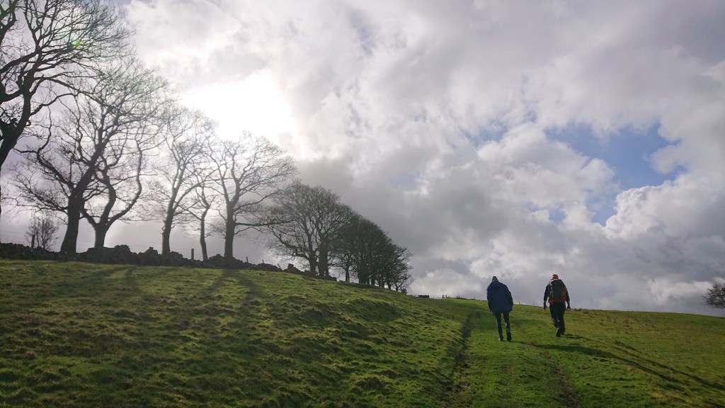
Is that blue sky???
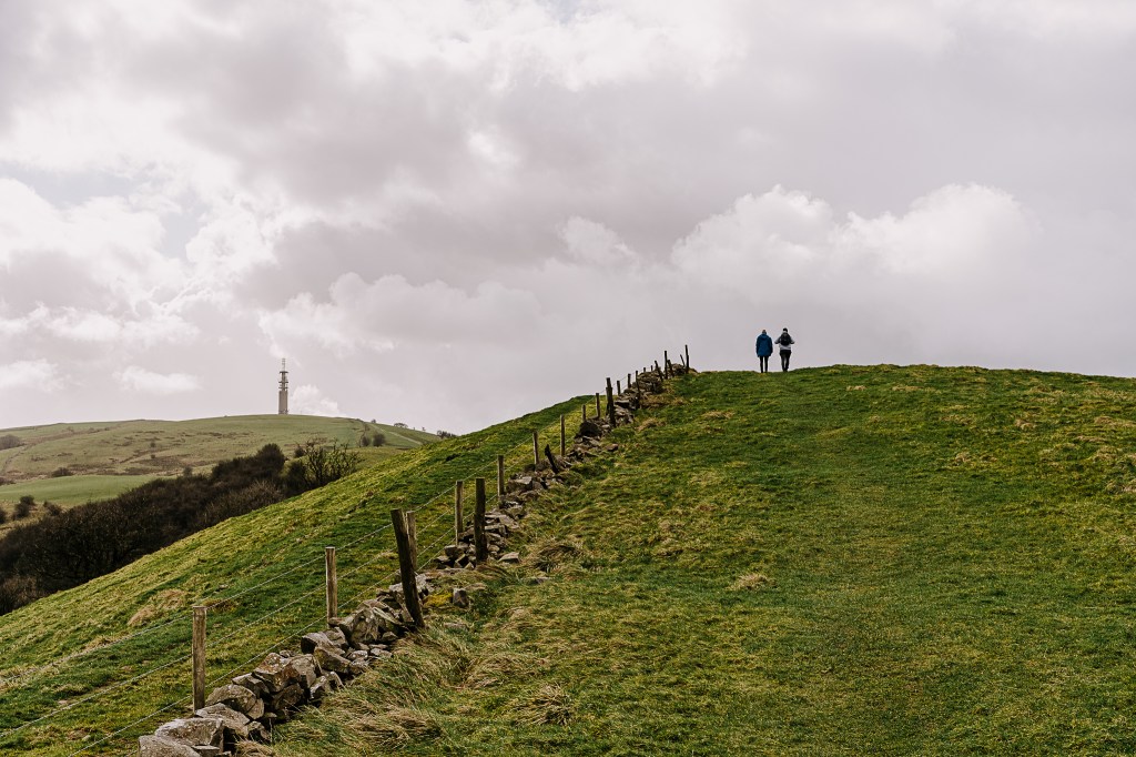
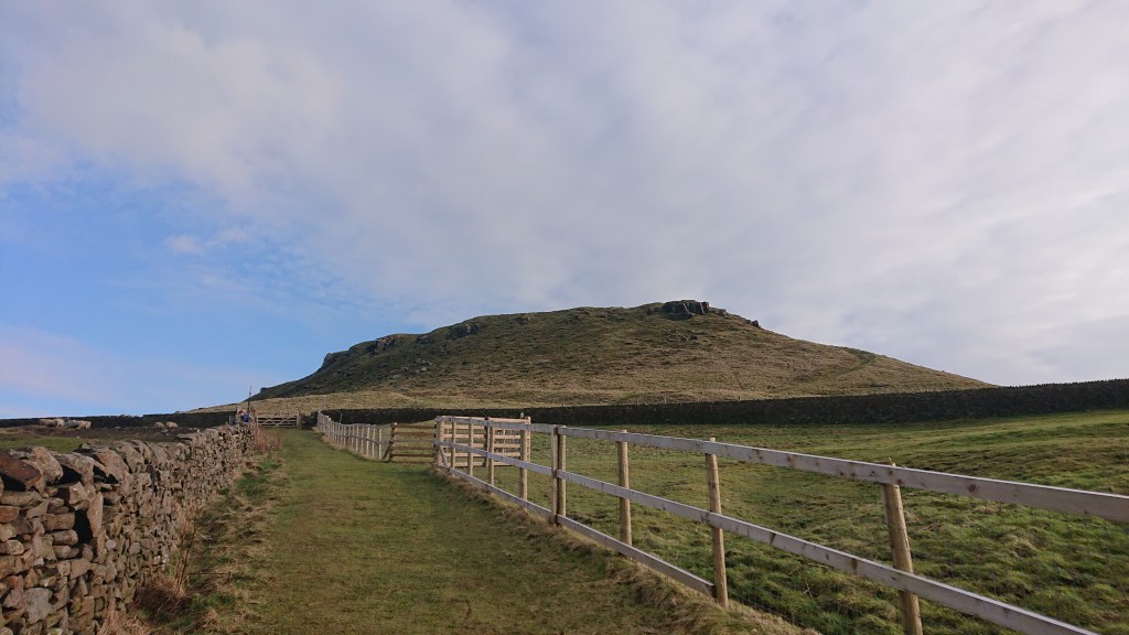
The hike isn’t difficult at all, just a bit muddy. After just 45 minutes, we reached the top of Croker Hill.
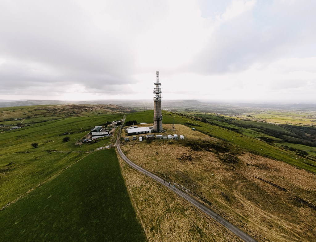
You may think Sutton Common BT Tower is a monument to Doctor Who’s sonic screwdriver, but it was actually built in the 1960s with reinforced concrete to provide the UK and NATO with survivable communications during nuclear war. So for decades it has been a relic of a time we thought long gone. Alas.
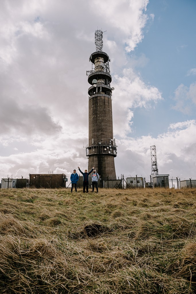
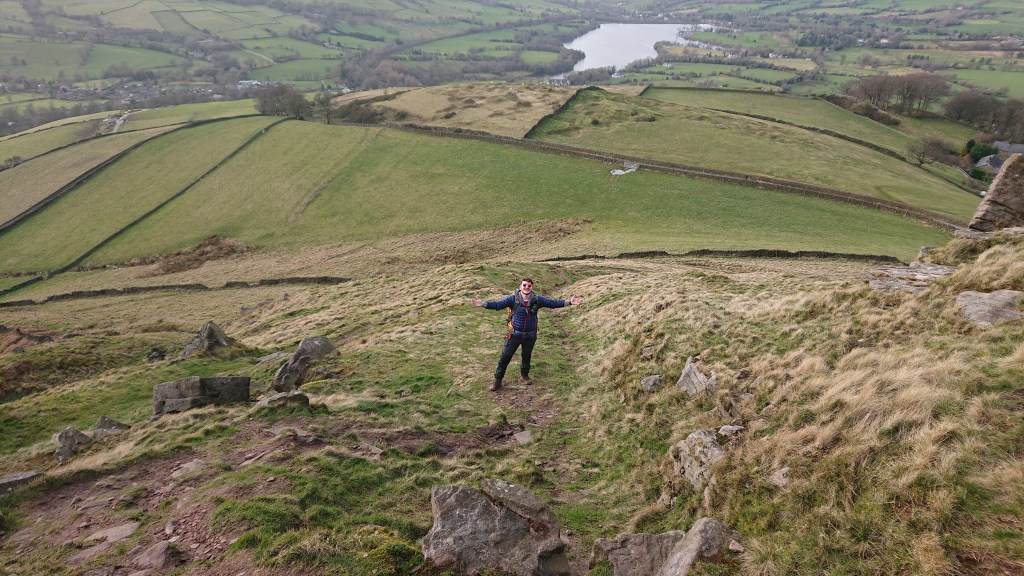
Anyway. First purposely bagged Ethel.
Instead of just walking back the way we came (which is boring), Brendan guided us on a circular tour back to the pub through muddy Cheshire countryside.
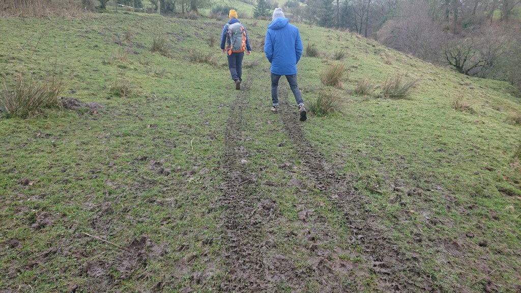
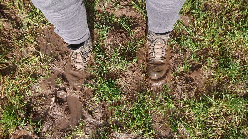
Soon, the path got even muddier.

The ground was trying to suck the boots from our feet. What a shame Aimee didn’t come with her Vans. That would have been interesting.
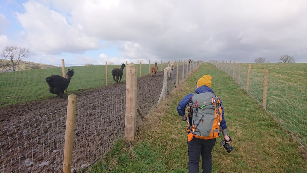
This portion of path wound straight through a farm, whose fields were guarded by ferocious alpacas.
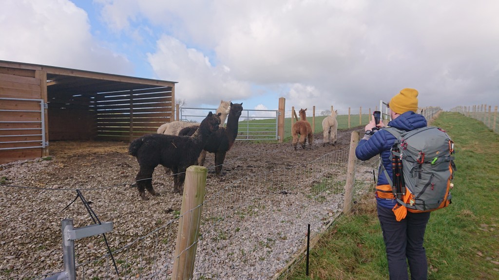
Who fiercely ran away as we walked by.
The path finally led us back to the road we’d left over two hours before (Brendan was playing with his drone at the summit). Somehow we made is passed these scary guard dogs with our lives.
They just would not stop yapping.
We stopped by The Ryles Arms for a lovely pie and chips. It was here that Joel departed and Brendan and I drove to Chapel-el-le-Frith in Derbyshire cos he wanted to test-drive a van. It went well.
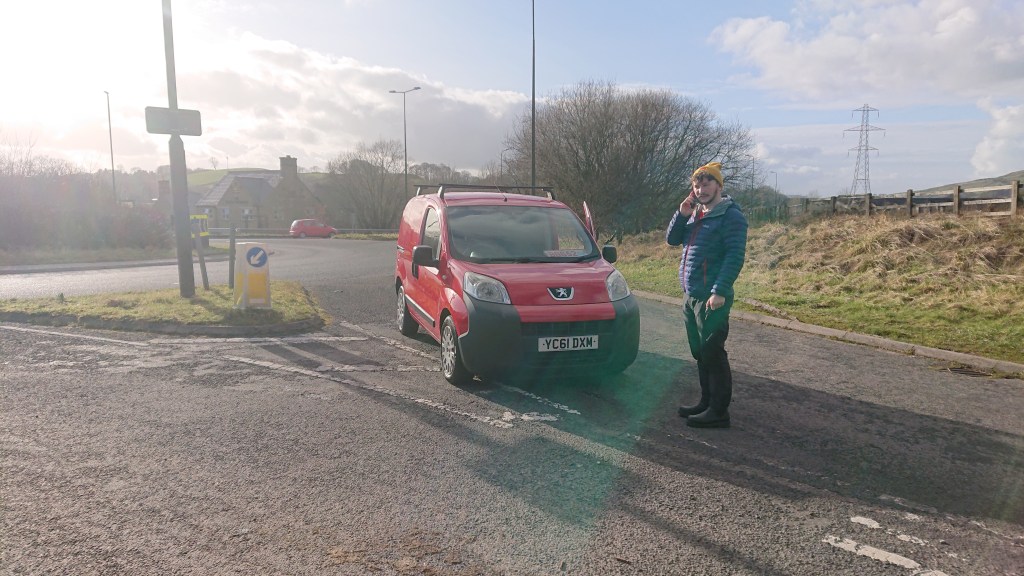
Lesson learned: if a vehicle you wish to test drive needs jump cables to start, it’s probably not worth testing. Postman Pat’s van stalled as we were about to enter the Fickle Mermaid roundabout on the A6 bypass, and guess what, it wouldn’t start.
I got out to push, keeping my gaze to the ground so as to not see bigger boys in bigger cars laughing at me. Luckily the first exit was a narrow, much less used country lane. Oh, my burning thighs.
Brendan decided not to purchase the van. It was tiny anyway.
Black Edge (Combs Moss) – Height: 507m
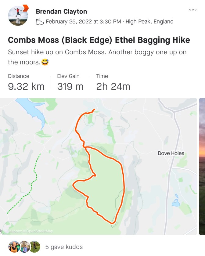
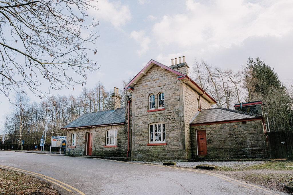
Chapel-en-le-Frith train station was the starting point for our second Ethel hike of the day.

Did you know that Chapel-en-le-Frith is the home of Ferodo from the Leord of the Reings?
Across the tracks and up through the wood we walked.
Eventually, Combs Moss appeared.
So yeah, we hadn’t even got to the Ethel yet. You can park closer on Cowlow Lane, but this is a very narrow country road and you’ll be parking in a passing place – dick move.
Before crossing Cowlow Lane, I spotted some young bulls in a field.
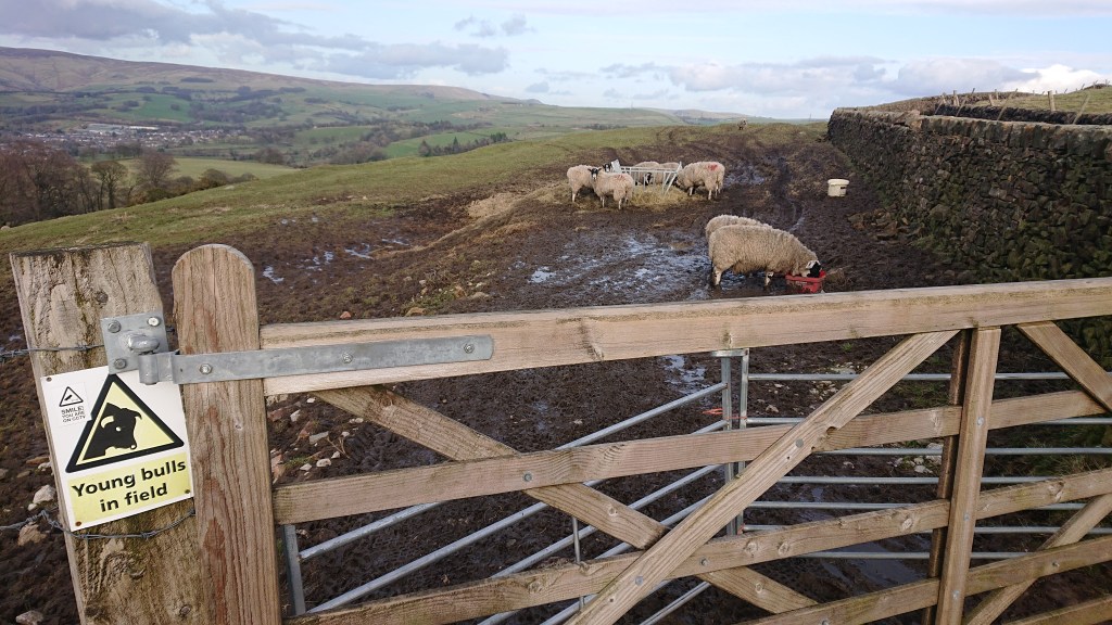
Derbyshire bulls are identifiable from regular cattle for their woolly coats and saying baa.
After a rather steady climb from the station, the path becomes a lot steeper as you wind your way up the cliff.
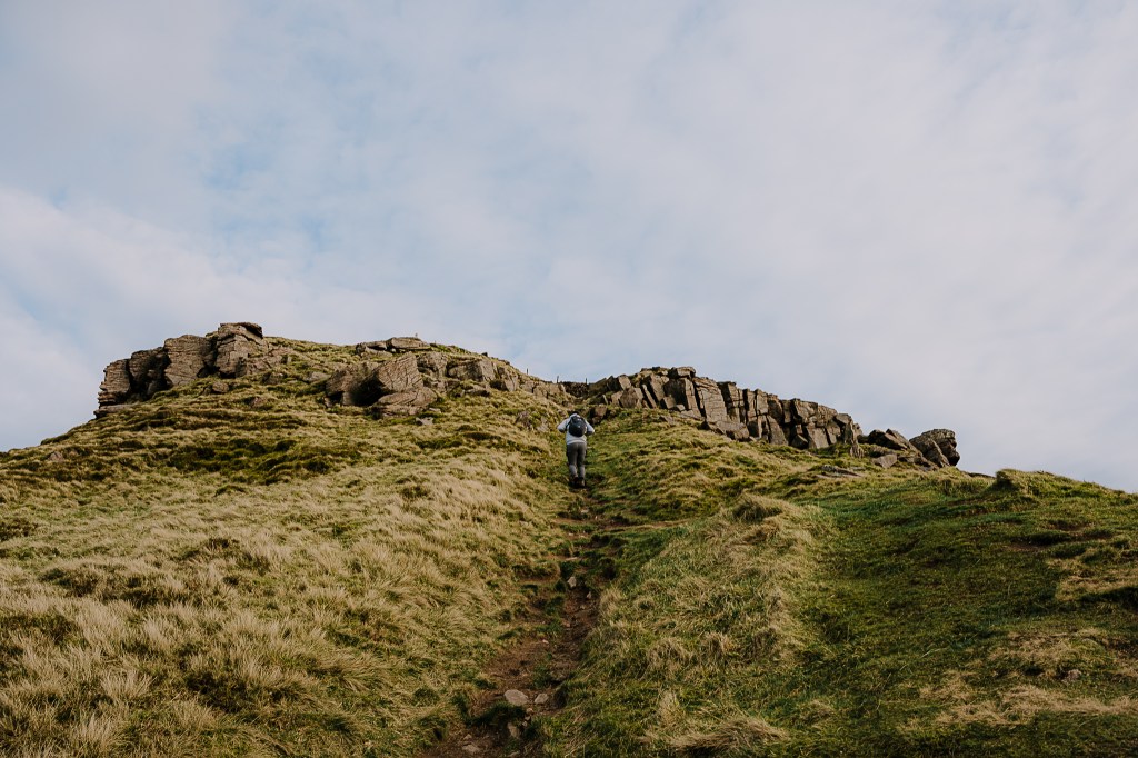
Here I was again feeling the burn in my thighs caused by the van.
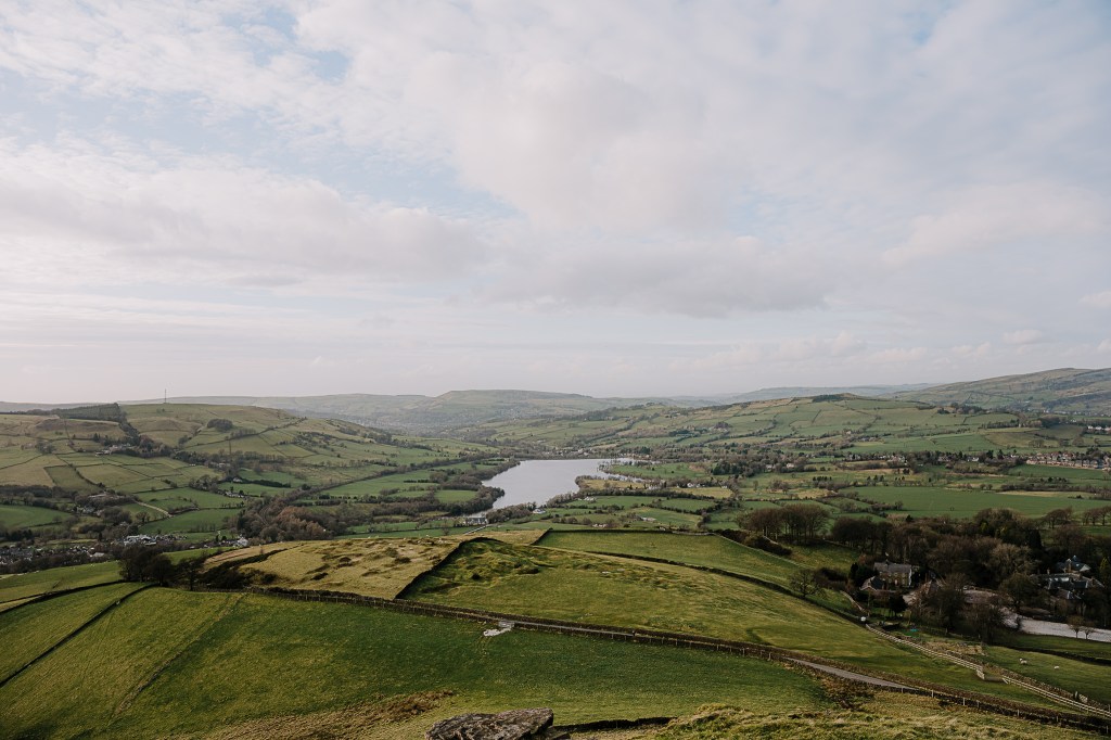
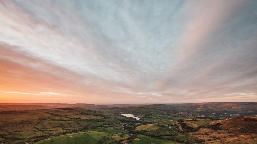
From the top you gain great views of the Combs reservoir and surrounding countryside.
It’s location was perfect for a medieval hill fort called Castle Naze. Excavations at the site have uncovered items from the Roman period and as far back as the Ice Age. Now that’s a long time ago.
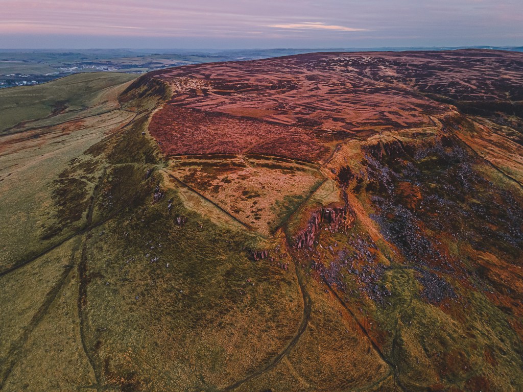
From the air, you can see fort’s triangular shape. Nowadays the ramparts have been replaced by bog – a reminder that Mother Nature always wins.
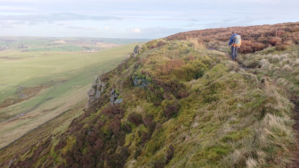
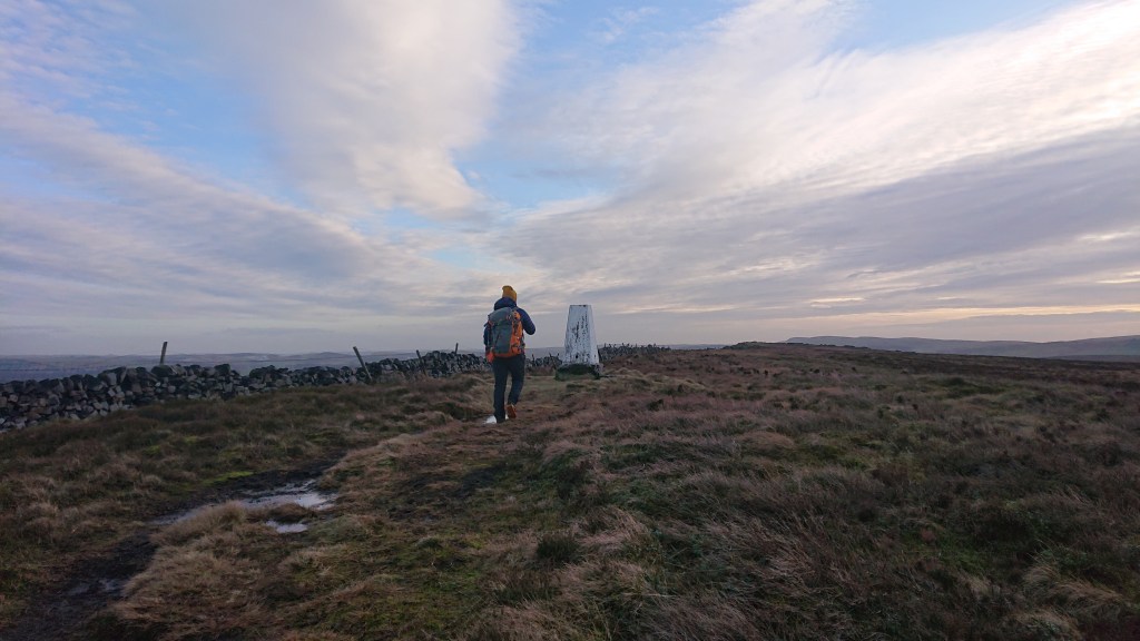
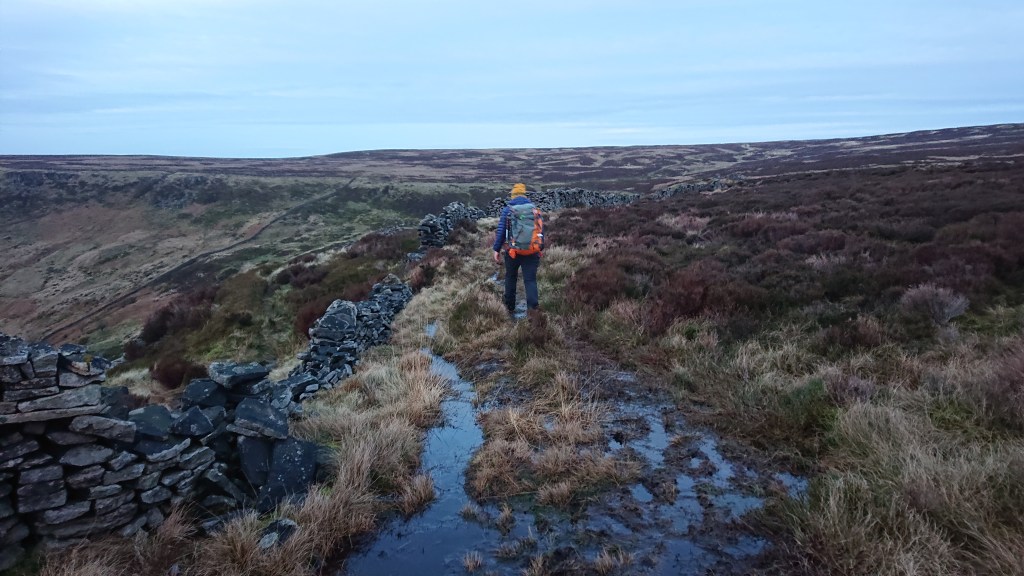
We squleched eastwards, between moss and cliff to what becomes Black Edge.

The squelchiness of the ground had only just started.

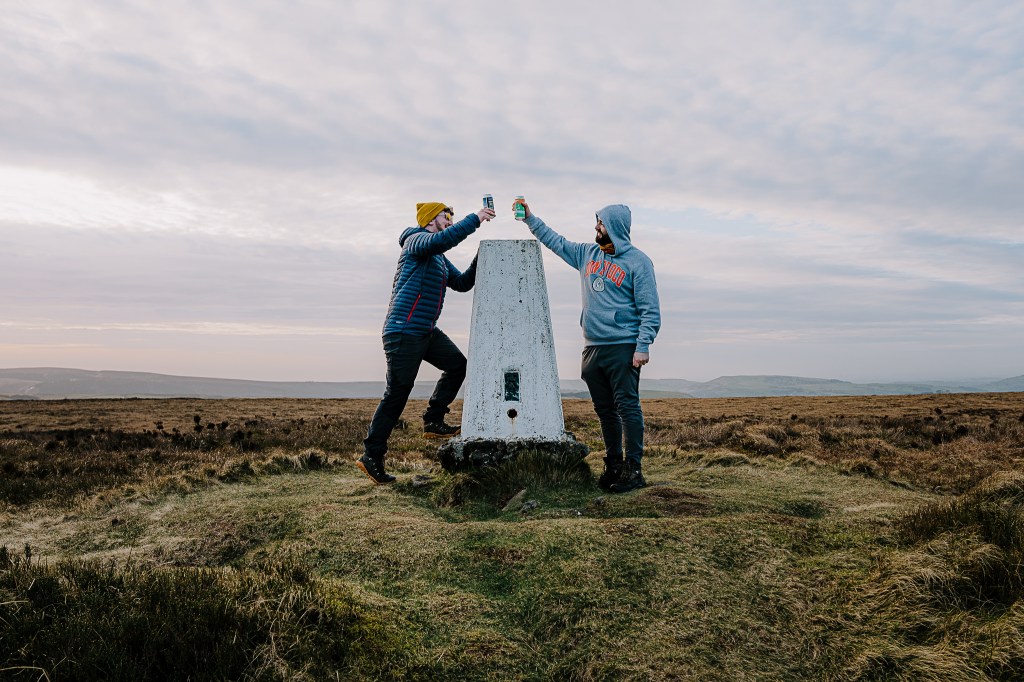
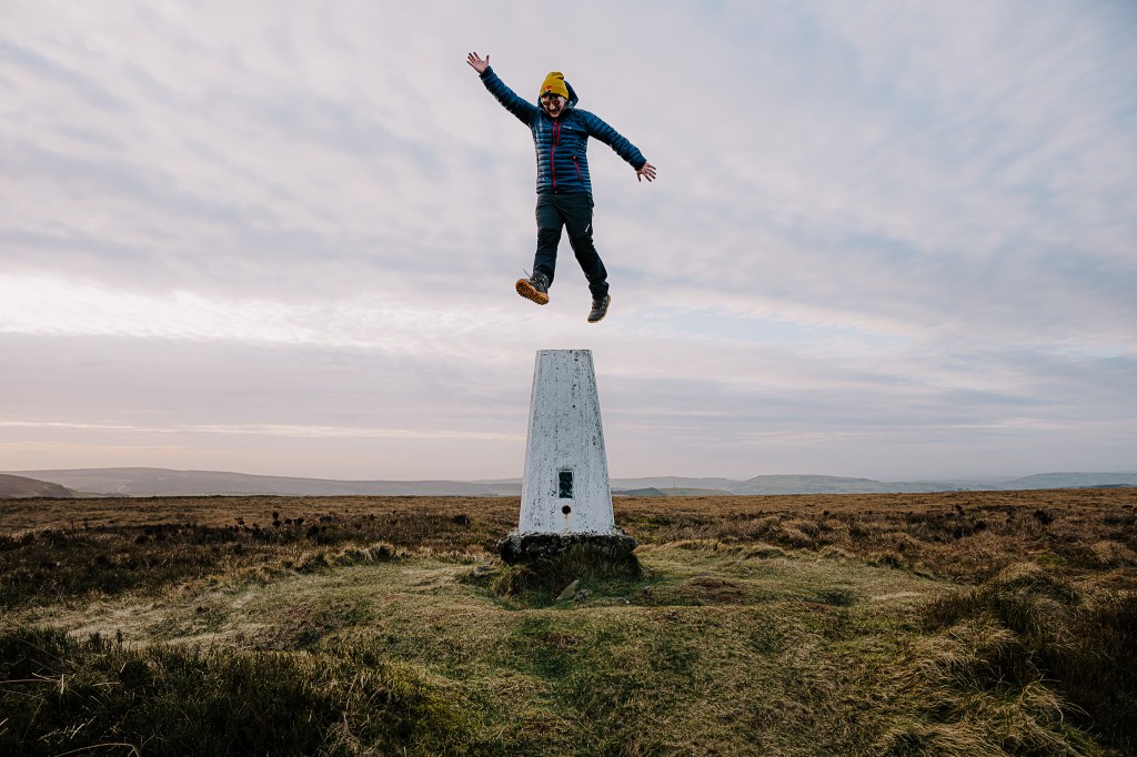
After an hour of hiking we arrived at the trig point.
Celebratory beers were opened. Ethel Number 2, in the bag.
With the dying of the light, we headed south into Combs Moss to continue our circular route. Brendan likes circular routes.
The Combs Moss plateau has a second trig point at Combs Head, but we would not get there before sunset and I didn’t fancy walking through bog in the dark without a head torch. Also, Brendan has already bagged that Ethel. That one’s for another time…
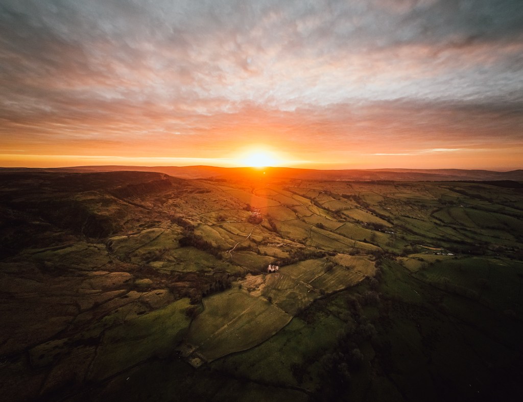
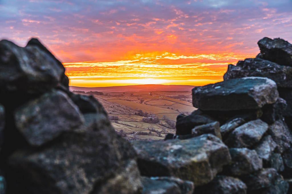
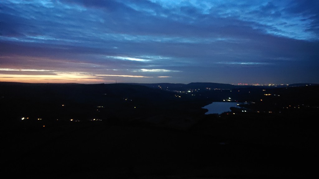
As the sun started to kiss the horizon, it became clear we would not make it back to Castle Naze before darkness fell. Yay. At least the sunset was pretty.
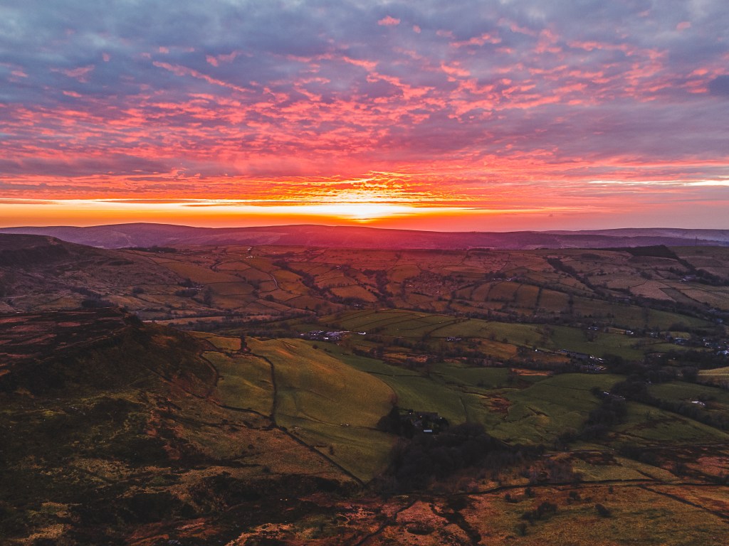
Fair play to Brendan here, some of these pics are comic. It was almost like seeing a nuclear bomb go off in the distance.
With night time descending, we needed to head for the exit. The ground was not getting any less squelchy and I kinda wanted to see the bogs I would accidentally step in.
Soon enough my water resistant boots had decided they could resist no more, and I was getting wet toes. You learn to accept that on the moors. Amazingly, we suffered no embarrassing falls, mostly thanks to Brendan’s head torch and my pitifully weak phone torch.
When we finally reached Castle Naze, Manchester was visible in the distance with lights ablaze. (Haha that rhymed).
So there we have it, an introduction to Ethel Bagging. That’s 6 down and 89 to go. Jeeeeeeeebus.
