Shutlingsloe. The second highest peak in the famously flat county of Cheshire. It’s sometimes described as the ‘Matterhorn of Cheshire’, which – if you look at a picture of the actual Matterhorn in the Swiss/Italian Alps, is a bit laughable.
With an elevation of just 506m, the Swiss would call it a molehill. So would the Scottish. So would the English tbf. But it’s long been a wonder for me. In my hometown of Winsford, there’s a point on Swanlow Lane where throughout my life, I’ve looked eastwards to the horizon, to the Pennines, whilst on little walks. Long have I wondered what that little peak was – and only this year did I finally work it out whilst on a wander through Macclesfield Forest with Joel.
Fast-forward 5 months and the forest looks much nicer. Less brown. Less grey. More summery.
A perfect morning to finally meet Shutlinsloe.
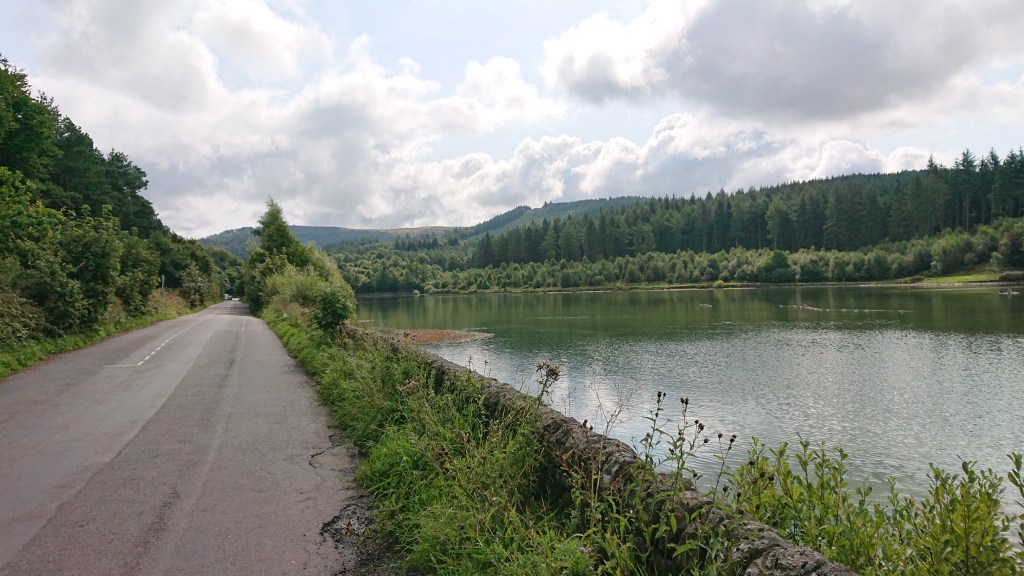
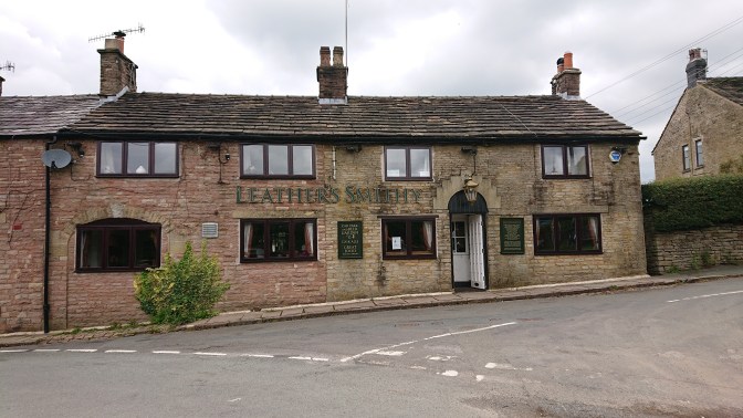
Aimee accompanied me this time, and we parked up just in front of the Leather’s Smithy pub, beside the Ridgegate Reservoir:
53°14’26.4″N 2°04’19.4″W
There are other car parks deeper into the forest, but they are pay and display, so it pays to get here early and bag a free spot!
It was just before 11am and there were still loads of spaces.
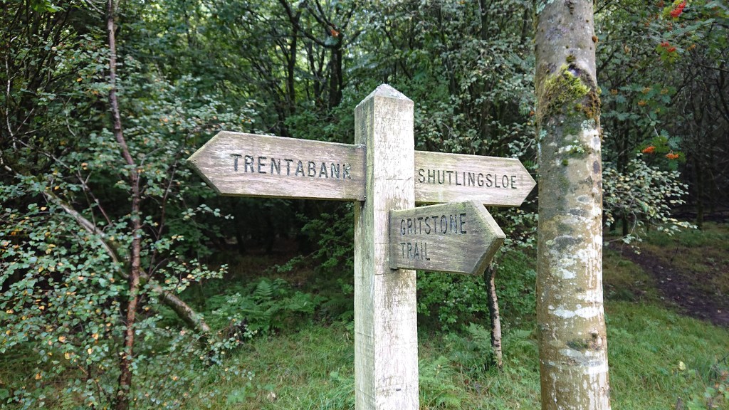
The walk Shutlingsloe is simple to navigate. There are lots of signposts to follow.
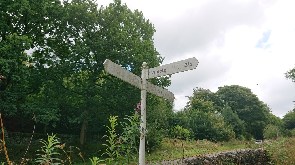
I asked Aimee if she’d like to see a Winkle. She said no.
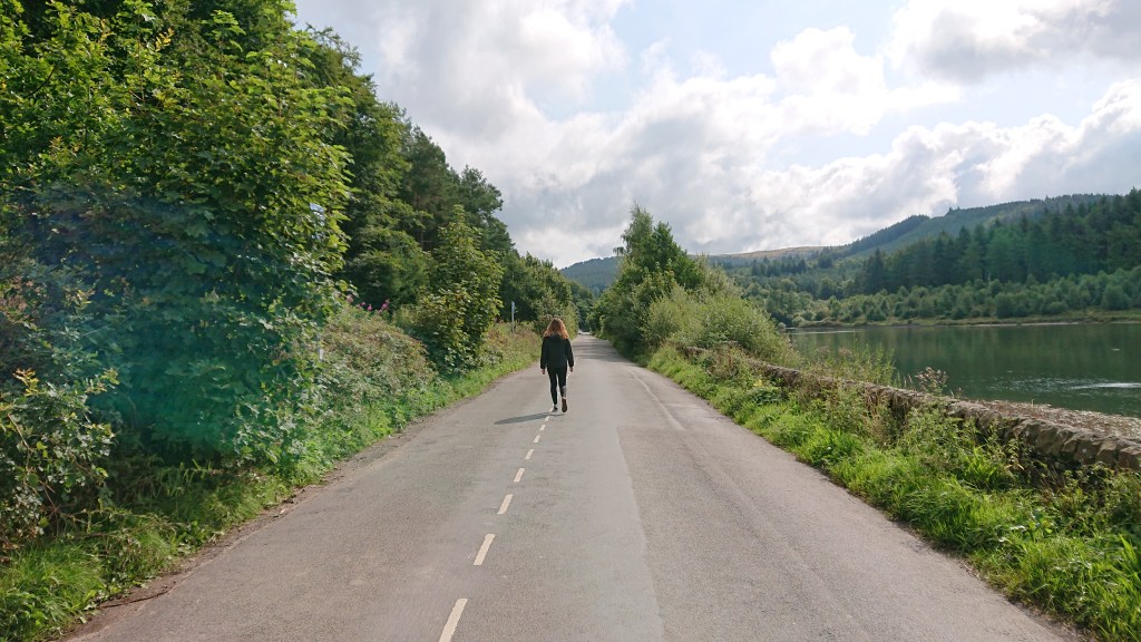
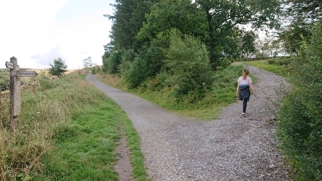
From beside the reservoir, you follow the road up to Trentabank car park and turn right into the forest. It was here that a group of three gals, a guy and a middle aged couple joined the path in front of us and held us up.

They took up the whole width of the path and we couldn’t overtake them. So I stopped to take a picture of an aforementioned signpost.
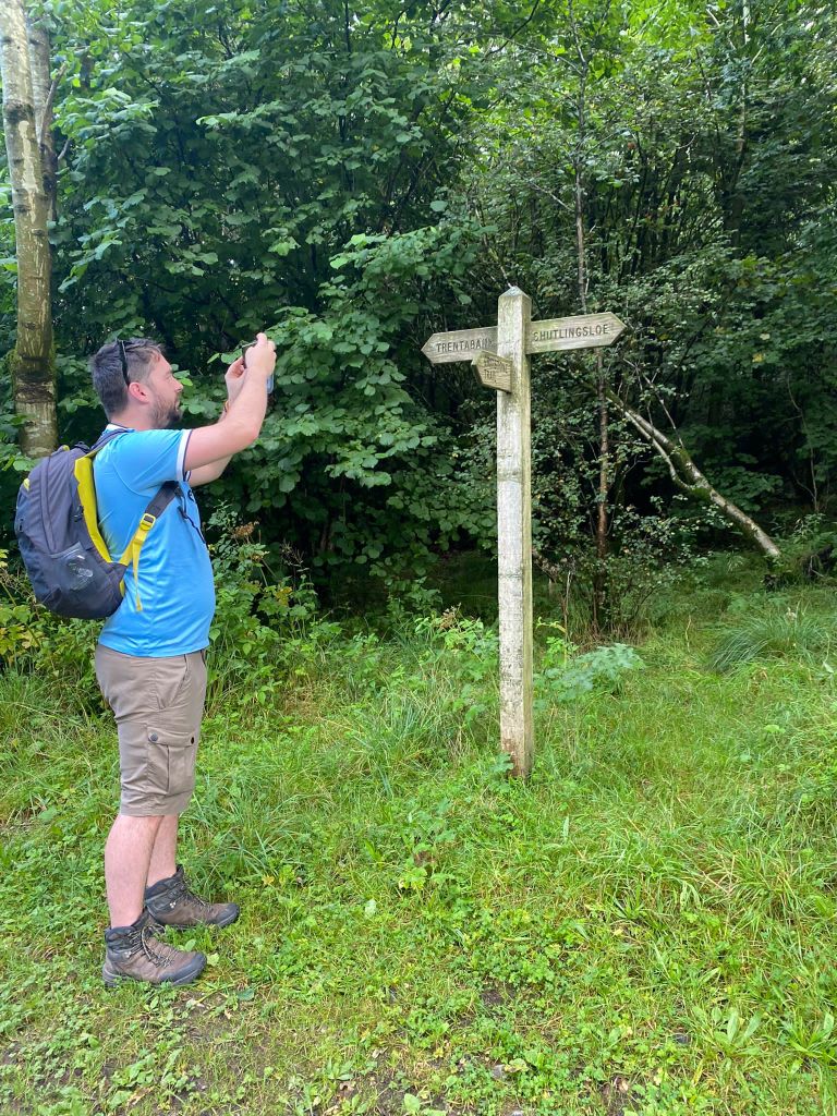
I don’t like how my hair looks so grey in this photo. I’m blaming the lighting, and not my ever advancing years.
We carried on and very quickly caught up to the Slow Gang.
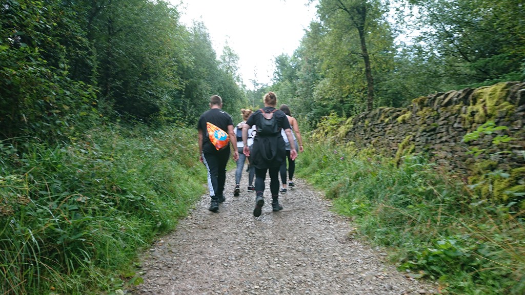
As the incline of the path increased, the group got even slower. Thankfully, the path widened and we were able to powerwalk by.
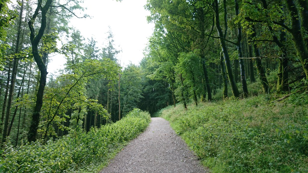
One thing I can say about Macclesfield Forest is that it is pretty green. Nowadays it’s owned by United Utilities, but it used to be owned by the Earls of Chester. This woodland is the last substantial fragment of the Royal Forest of Macclesfield, used by Earls and Kings of old as a hunting preserve.
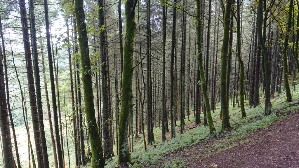
Somewhere within these woods are a small herd of red deer, but I’m still yet to come across them. I wouldn’t have been a good hunter.
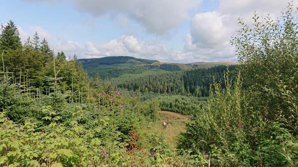
Eventually the trees that line the path thin out, and offer you a nice view of the valley. Soon there comes a fork in the road.
Take the left road to continue your circular walk of Macclesfield Forest. Take the right road to head to Shutlingsloe.
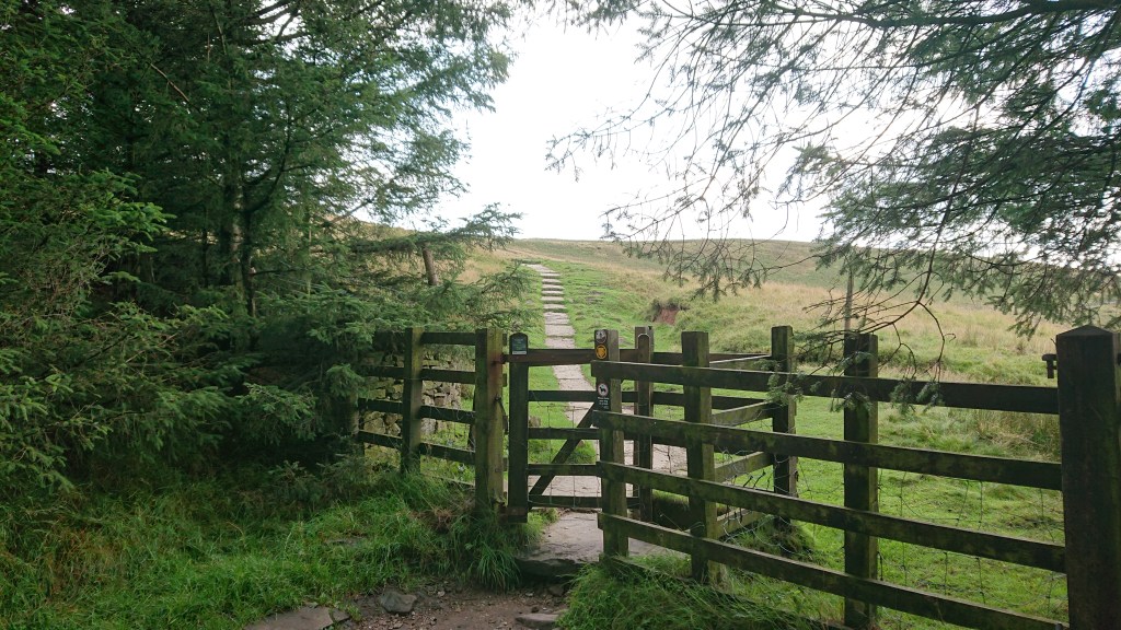
The kissing gate takes you out of the forest and soon, across the imaginary borderline of the Peak District.
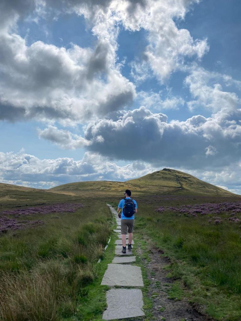
The path leads up the hill. When you get to the top of that climb, the peak of Shutlingsloe appears.
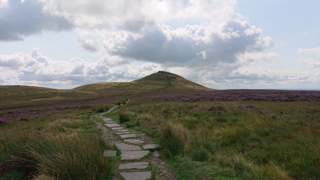
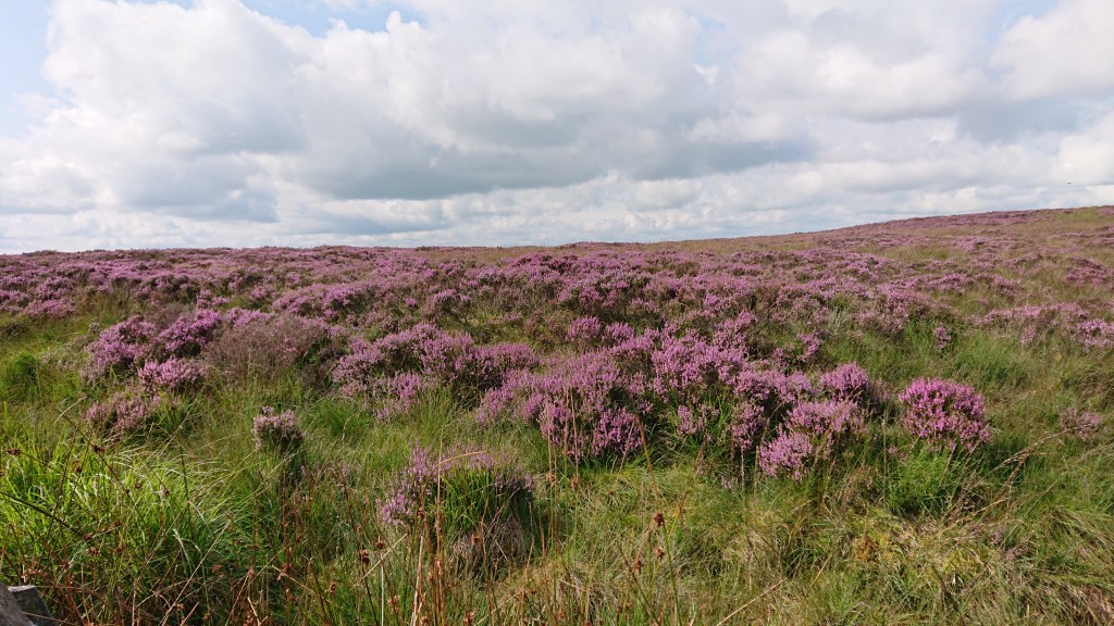
Aimee fell into that classic trap for first time hikers, where you get to the top of one hill only to see you still have a climb to go. She groaned at the sight of the peak. I ogled the heather for it was looking very purple.
For once, I had a bit of luck with the weather. Usually when I’m approaching a summit, the clouds gather and try to give me hypothermia. But today, they cleared.
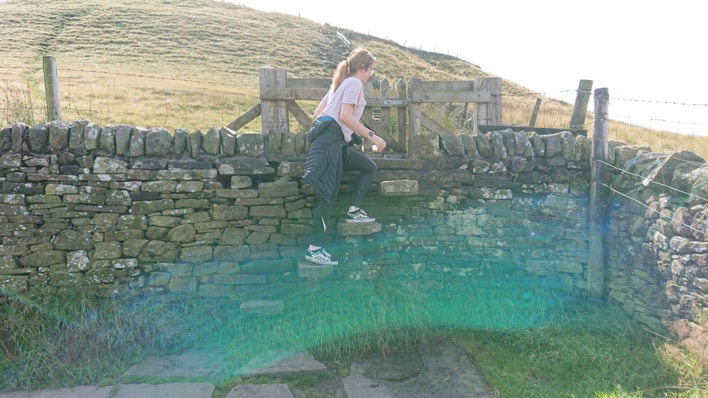
Here’s Aimee walking on sunshine (lens flare).
The final climb is the steepest, but it’s short, and we were soon at the top.
And I took the opportunity to look back into Cheshire. Sadly, I could not make out Swanlow Lane.
Or Winsford, tbf. But I knew it was there. Somewhere.
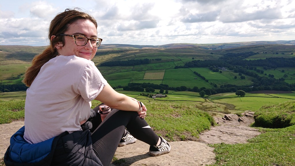
We sat for a while and absorbed the views and the rays.
And we were not alone.
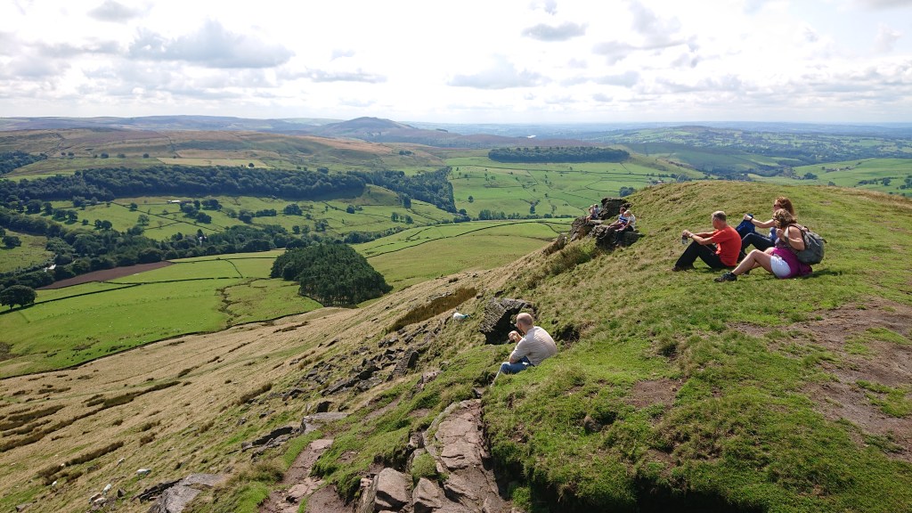
It’s a popular place to come for a chill.
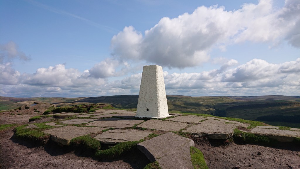
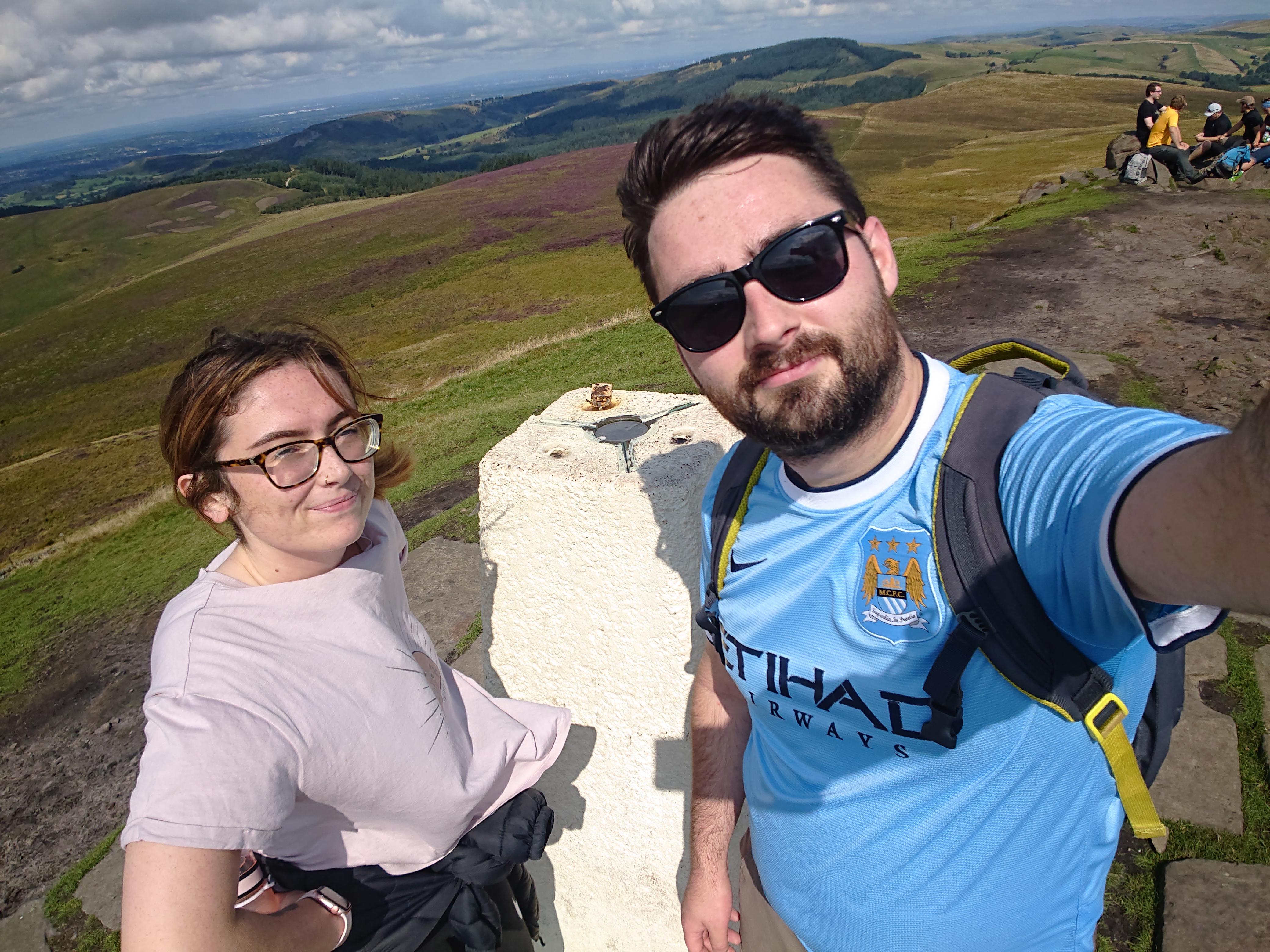
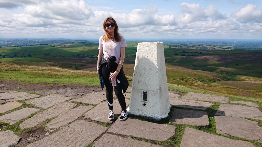
In all the chilling, I’d forgotten to get a photo of Aimee and her first trig point. Annoyingly, we had to wait for this couple to move.
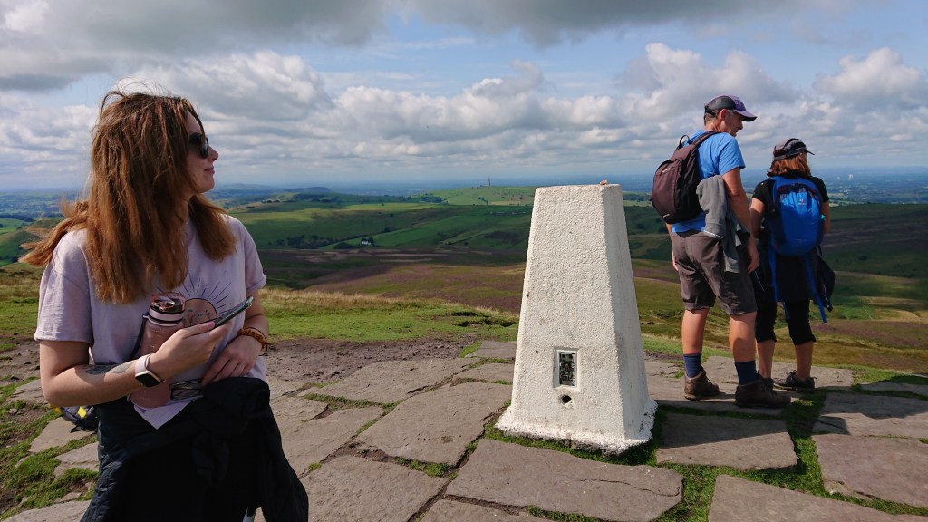
And they just stood there for ages. They weren’t taking photos, they were just ruining pictures. But of course, I’m too polite/pathetic to order them out of the way. I know at one point they saw me clearly waiting, but they were in no rush. Finally they trundled off.
After twenty minutes at the top, we decided to leave. As we left the summit, the Slow Gang finally arrived. Kudos to them for making it to the top, but I couldn’t help but notice that the lad was missing. I never did see his body on the walk back…
The walk back to the forest was uneventful, but for Aimee tripping up after kicking her own foot.
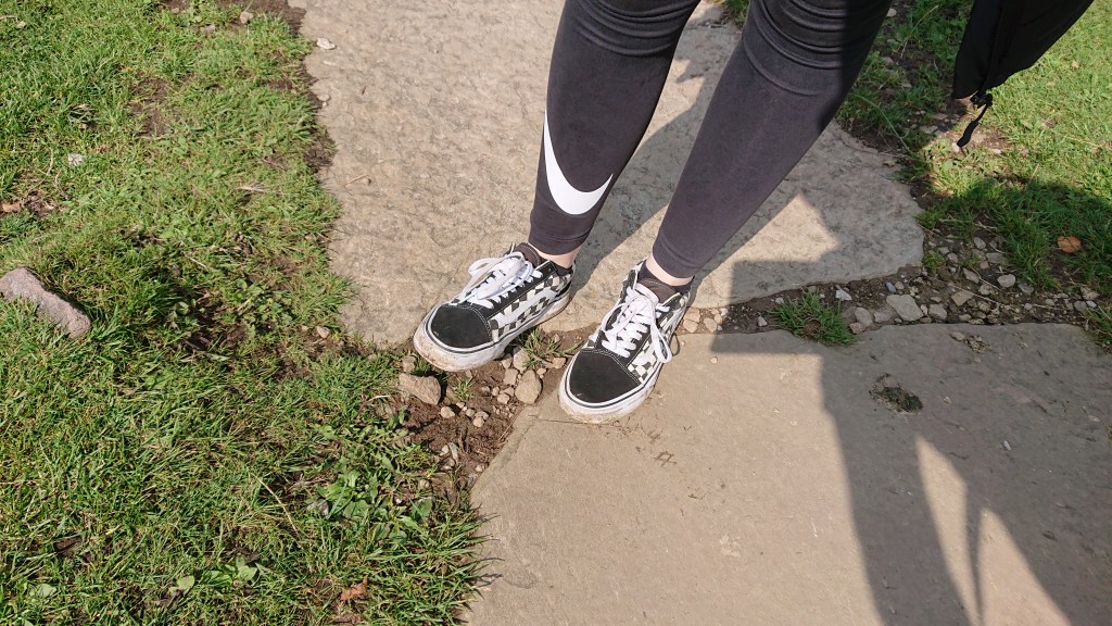
I don’t think Vans are suitable hiking shoes. Just saying.
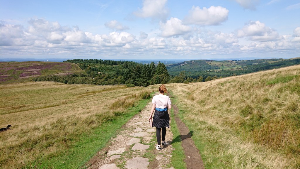
We decided to take the circular route back to the car, so we could take in more of Macc Forest.
On the eastern side of the forest you can find this bench.
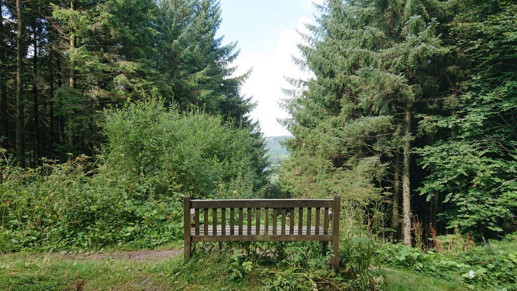
It looks pretty, but doesn’t provide much of a view.

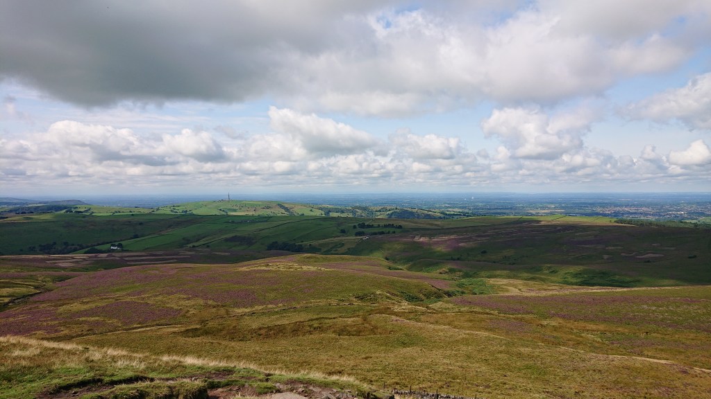
The eastern side of the circular route does provide you with a view of The Cat & Fiddle Inn (the little speck on the horizon to the right) – which is the second highest pub in England, and Shining Tor (the hill to the left on the horizon) – Cheshire’s highest point. But I’ll save those for another day…
We headed back towards the car. I fancied a bit of a reward for burning so many calories.
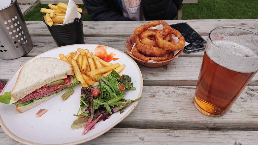
What better way is there to end a big walk than a pint of ale and a bit of pub grub. Loads of calories to replace the ones I’d just spent. I’ll admit I’m not a fitness expert.
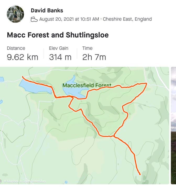
Here’s the route we walked, if you’re interested in following in the footsteps of a couple of nobodies.
David out. X.

2 thoughts on “Climbing Shutlingsloe via Macclesfield Forest”